Readings Newsletter
Become a Readings Member to make your shopping experience even easier.
Sign in or sign up for free!
You’re not far away from qualifying for FREE standard shipping within Australia
You’ve qualified for FREE standard shipping within Australia
The cart is loading…


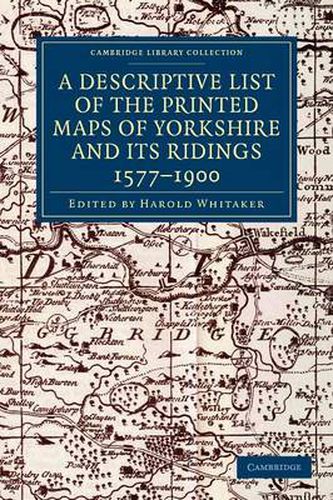
Originally founded in 1863 to promote interest in the history and archaeology of the Huddersfield area, the Yorkshire Archaeological Society expanded its purview in 1870 to cover the whole of Yorkshire. In 1884 it began publishing its Record Series, which aimed to make historical information available through the reprinting of original documents, diaries, letters, and charters. First published in 1933 and reprinted for the society in 1971, this well-illustrated work is an extensive catalogue of maps of the Yorkshire area, drawn between 1577 and 1900. The editor’s introduction sets the maps within the history of cartography in Britain, and in the context of pioneering work by previous cartographers. The entries give a description of what each map depicts, along with information on dates and dimensions. This work remains a valuable resource for local historians and geographers.
$9.00 standard shipping within Australia
FREE standard shipping within Australia for orders over $100.00
Express & International shipping calculated at checkout
Stock availability can be subject to change without notice. We recommend calling the shop or contacting our online team to check availability of low stock items. Please see our Shopping Online page for more details.
Originally founded in 1863 to promote interest in the history and archaeology of the Huddersfield area, the Yorkshire Archaeological Society expanded its purview in 1870 to cover the whole of Yorkshire. In 1884 it began publishing its Record Series, which aimed to make historical information available through the reprinting of original documents, diaries, letters, and charters. First published in 1933 and reprinted for the society in 1971, this well-illustrated work is an extensive catalogue of maps of the Yorkshire area, drawn between 1577 and 1900. The editor’s introduction sets the maps within the history of cartography in Britain, and in the context of pioneering work by previous cartographers. The entries give a description of what each map depicts, along with information on dates and dimensions. This work remains a valuable resource for local historians and geographers.
Search our extensive online catalogue.
