Readings Newsletter
Become a Readings Member to make your shopping experience even easier.
Sign in or sign up for free!
You’re not far away from qualifying for FREE standard shipping within Australia
You’ve qualified for FREE standard shipping within Australia
The cart is loading…


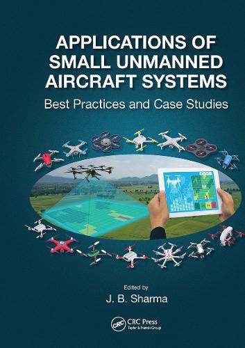
Advances in high spatial resolution mapping capabilities and the new rules established by the Federal Aviation Administration in the United States for the operation of Small Unmanned Aircraft Systems (sUAS) have provided new opportunities to acquire aerial data at a lower cost and more safely versus other methods. A similar opening of the skies for sUAS applications is being allowed in countries across the world. Also, sUAS can access hazardous or inaccessible areas during disaster events and provide rapid response when needed. Applications of Small Unmanned Aircraft systems: Best Practices and Case Studies is the first book that brings together the best practices of sUAS applied to a broad range of issues in high spatial resolution mapping projects. Very few sUAS pilots have the knowledge of how the collected imagery is processed into value added mapping products that have commercial and/or academic import. Since the field of sUAS applications is just a few years old, this book covers the need for a compendium of case studies to guide the planning, data collection, and most importantly data processing and map error issues, with the range of sensors available to the user community.
Written by experienced academics and professionals, this book serves as a guide on how to formulate sUAS based projects, from choice of a sUAS, flight planning for a particular application, sensors and data acquisition, data processing software, mapping software and use of the high spatial resolution maps produced for particular types of geospatial modeling.
Features:
Focus on sUAS based data acquisition and processing into map products
Broad range of case studies by highly experienced academics
Practical guidance on sUAS hardware, sensors, and software utilized
Compilation of workflow insights from expert professors and professionals
Relevant to academia, government, and industry
Positional and thematic map accuracy, UAS curriculum development and workflow replicability issues
This book would be an excellent text for upper-level undergraduate to graduate level sUAS mapping application courses. It is also invaluable as a reference for educators designing sUAS based curriculum as well as for potential sUAS users to assess the scope of mapping projects that can be done with this technology.
$9.00 standard shipping within Australia
FREE standard shipping within Australia for orders over $100.00
Express & International shipping calculated at checkout
Advances in high spatial resolution mapping capabilities and the new rules established by the Federal Aviation Administration in the United States for the operation of Small Unmanned Aircraft Systems (sUAS) have provided new opportunities to acquire aerial data at a lower cost and more safely versus other methods. A similar opening of the skies for sUAS applications is being allowed in countries across the world. Also, sUAS can access hazardous or inaccessible areas during disaster events and provide rapid response when needed. Applications of Small Unmanned Aircraft systems: Best Practices and Case Studies is the first book that brings together the best practices of sUAS applied to a broad range of issues in high spatial resolution mapping projects. Very few sUAS pilots have the knowledge of how the collected imagery is processed into value added mapping products that have commercial and/or academic import. Since the field of sUAS applications is just a few years old, this book covers the need for a compendium of case studies to guide the planning, data collection, and most importantly data processing and map error issues, with the range of sensors available to the user community.
Written by experienced academics and professionals, this book serves as a guide on how to formulate sUAS based projects, from choice of a sUAS, flight planning for a particular application, sensors and data acquisition, data processing software, mapping software and use of the high spatial resolution maps produced for particular types of geospatial modeling.
Features:
Focus on sUAS based data acquisition and processing into map products
Broad range of case studies by highly experienced academics
Practical guidance on sUAS hardware, sensors, and software utilized
Compilation of workflow insights from expert professors and professionals
Relevant to academia, government, and industry
Positional and thematic map accuracy, UAS curriculum development and workflow replicability issues
This book would be an excellent text for upper-level undergraduate to graduate level sUAS mapping application courses. It is also invaluable as a reference for educators designing sUAS based curriculum as well as for potential sUAS users to assess the scope of mapping projects that can be done with this technology.