Readings Newsletter
Become a Readings Member to make your shopping experience even easier.
Sign in or sign up for free!
You’re not far away from qualifying for FREE standard shipping within Australia
You’ve qualified for FREE standard shipping within Australia
The cart is loading…


This title is printed to order. This book may have been self-published. If so, we cannot guarantee the quality of the content. In the main most books will have gone through the editing process however some may not. We therefore suggest that you be aware of this before ordering this book. If in doubt check either the author or publisher’s details as we are unable to accept any returns unless they are faulty. Please contact us if you have any questions.
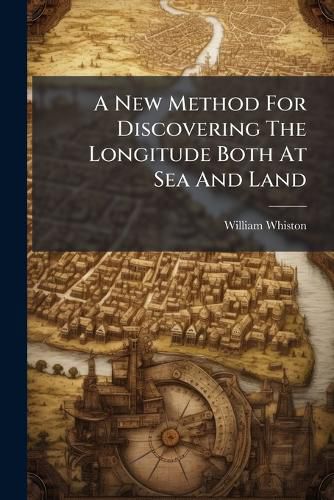
"A New Method For Discovering The Longitude Both At Sea And Land" by William Whiston offers a fascinating glimpse into the historical challenges of navigation and the quest for accurate longitude determination. This work details a novel approach to solving one of the most pressing scientific and practical problems of its time. Whiston's method, explained with meticulous detail, reflects the era's ingenuity and the critical importance of precise navigation for trade, exploration, and naval endeavors.
This book is invaluable for historians of science, maritime historians, and anyone interested in the development of navigational techniques. It provides a unique perspective on the scientific thinking and technological innovation of the 18th century, highlighting the ongoing efforts to improve accuracy and safety in maritime travel. Discover the intricacies of early navigational science with this meticulously researched and presented historical account.
This work has been selected by scholars as being culturally important, and is part of the knowledge base of civilization as we know it. This work was reproduced from the original artifact, and remains as true to the original work as possible. Therefore, you will see the original copyright references, library stamps (as most of these works have been housed in our most important libraries around the world), and other notations in the work.
This work is in the public domain in the United States of America, and possibly other nations. Within the United States, you may freely copy and distribute this work, as no entity (individual or corporate) has a copyright on the body of the work.
As a reproduction of a historical artifact, this work may contain missing or blurred pages, poor pictures, errant marks, etc. Scholars believe, and we concur, that this work is important enough to be preserved, reproduced, and made generally available to the public. We appreciate your support of the preservation process, and thank you for being an important part of keeping this knowledge alive and relevant.
$9.00 standard shipping within Australia
FREE standard shipping within Australia for orders over $100.00
Express & International shipping calculated at checkout
This title is printed to order. This book may have been self-published. If so, we cannot guarantee the quality of the content. In the main most books will have gone through the editing process however some may not. We therefore suggest that you be aware of this before ordering this book. If in doubt check either the author or publisher’s details as we are unable to accept any returns unless they are faulty. Please contact us if you have any questions.
"A New Method For Discovering The Longitude Both At Sea And Land" by William Whiston offers a fascinating glimpse into the historical challenges of navigation and the quest for accurate longitude determination. This work details a novel approach to solving one of the most pressing scientific and practical problems of its time. Whiston's method, explained with meticulous detail, reflects the era's ingenuity and the critical importance of precise navigation for trade, exploration, and naval endeavors.
This book is invaluable for historians of science, maritime historians, and anyone interested in the development of navigational techniques. It provides a unique perspective on the scientific thinking and technological innovation of the 18th century, highlighting the ongoing efforts to improve accuracy and safety in maritime travel. Discover the intricacies of early navigational science with this meticulously researched and presented historical account.
This work has been selected by scholars as being culturally important, and is part of the knowledge base of civilization as we know it. This work was reproduced from the original artifact, and remains as true to the original work as possible. Therefore, you will see the original copyright references, library stamps (as most of these works have been housed in our most important libraries around the world), and other notations in the work.
This work is in the public domain in the United States of America, and possibly other nations. Within the United States, you may freely copy and distribute this work, as no entity (individual or corporate) has a copyright on the body of the work.
As a reproduction of a historical artifact, this work may contain missing or blurred pages, poor pictures, errant marks, etc. Scholars believe, and we concur, that this work is important enough to be preserved, reproduced, and made generally available to the public. We appreciate your support of the preservation process, and thank you for being an important part of keeping this knowledge alive and relevant.
Search our extensive online catalogue.
