Readings Newsletter
Become a Readings Member to make your shopping experience even easier.
Sign in or sign up for free!
You’re not far away from qualifying for FREE standard shipping within Australia
You’ve qualified for FREE standard shipping within Australia
The cart is loading…


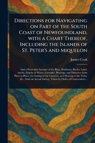
"Directions for Navigating on Part of the South Coast of Newfoundland, with a Chart Thereof, Including the Islands of St. Peter's and Miquelon" is a historical pilot guide meticulously charting the Newfoundland coastline. Authored by James Cook, this volume offers invaluable directions and navigational information crucial for maritime travel in the region. Detailed maps encompass the south coast of Newfoundland, extending to St. Peter's Island and Miquelon, providing essential insights for sailors and explorers.
A significant resource for understanding historical navigation techniques, this book provides detailed instructions vital for traversing these waters. Students of history, particularly those interested in expeditions, discoveries, and the cartography of Atlantic Canada, will find this volume indispensable. It offers a unique glimpse into the challenges and expertise required for seafaring in the 18th century, documenting a pivotal era of maritime exploration and mapping. This book preserves a vital piece of navigational history.
This work has been selected by scholars as being culturally important, and is part of the knowledge base of civilization as we know it.
This work is in the public domain in the United States of America, and possibly other nations. Within the United States, you may freely copy and distribute this work, as no entity (individual or corporate) has a copyright on the body of the work.
Scholars believe, and we concur, that this work is important enough to be preserved, reproduced, and made generally available to the public. We appreciate your support of the preservation process, and thank you for being an important part of keeping this knowledge alive and relevant.
$9.00 standard shipping within Australia
FREE standard shipping within Australia for orders over $100.00
Express & International shipping calculated at checkout
"Directions for Navigating on Part of the South Coast of Newfoundland, with a Chart Thereof, Including the Islands of St. Peter's and Miquelon" is a historical pilot guide meticulously charting the Newfoundland coastline. Authored by James Cook, this volume offers invaluable directions and navigational information crucial for maritime travel in the region. Detailed maps encompass the south coast of Newfoundland, extending to St. Peter's Island and Miquelon, providing essential insights for sailors and explorers.
A significant resource for understanding historical navigation techniques, this book provides detailed instructions vital for traversing these waters. Students of history, particularly those interested in expeditions, discoveries, and the cartography of Atlantic Canada, will find this volume indispensable. It offers a unique glimpse into the challenges and expertise required for seafaring in the 18th century, documenting a pivotal era of maritime exploration and mapping. This book preserves a vital piece of navigational history.
This work has been selected by scholars as being culturally important, and is part of the knowledge base of civilization as we know it.
This work is in the public domain in the United States of America, and possibly other nations. Within the United States, you may freely copy and distribute this work, as no entity (individual or corporate) has a copyright on the body of the work.
Scholars believe, and we concur, that this work is important enough to be preserved, reproduced, and made generally available to the public. We appreciate your support of the preservation process, and thank you for being an important part of keeping this knowledge alive and relevant.
Search our extensive online catalogue.
