


Cheeseboro-Palo Comado Canyons Trail Map
Tom Harrison
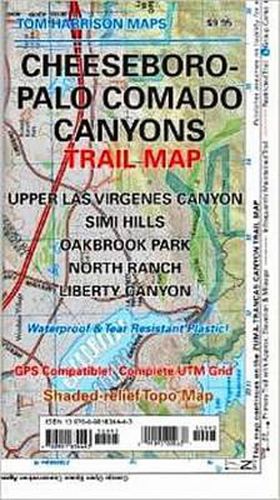
Cheeseboro-Palo Comado Canyons Trail Map
Tom Harrison
Shaded relief map printed on waterproof and tear resistant material. Scale 1:31,680 (1 inch representing 0.5 mil) This map includes the area North of the Zumas-Trancas Canyon Trail Map by the same cartographer. You may drive to it via 101 freeway and is of easy access. Features: Upper Las Virgenes Canyon, Simi Hills, Oakbrook Park, North Ranch and Liberty Canyon. GPS Compatible. Complete UTM Grid. Printed on waterproof & tear resistant plastic.
This item is not currently in-stock. It can be ordered online and is expected to ship in approx 4 weeks
Our stock data is updated periodically, and availability may change throughout the day for in-demand items. Please call the relevant shop for the most current stock information. Prices are subject to change without notice.
Sign in or become a Readings Member to add this title to a wishlist.