Readings Newsletter
Become a Readings Member to make your shopping experience even easier.
Sign in or sign up for free!
You’re not far away from qualifying for FREE standard shipping within Australia
You’ve qualified for FREE standard shipping within Australia
The cart is loading…


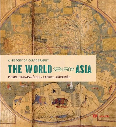
Discover the sacred myths, conquests, adventures, trade and cultural exchanges that have defined ‘Asia’ with this unique illustrated history of Asian cartography
Asia’s rich map tradition features holy sites, pilgrimage routes, maritime and land expeditions, imperial conquests and cities and European settlements and colonization. The Asian ‘continent’ evolved from being the only known world, to being the centre of the world to being open to the world.
The maps presented here follow the journeys of Buddhist monks, traders and explorers - a 17th-century Chinese military map plots the Chinese explorer’s Zheng He’s ‘great voyages of discovery’ across the Indian Ocean and the Red Sea to Arabia and the African continent. They show the birth and expansion of imperial powers, the construction of river ways, canals and roads, and the building of new cities and capitals from Beijing in China, Seoul in Korea to Edo and Kyoto in Japan. They tell the story of modern Asian planispheres introduced by the Jesuit Matteo Ricci in the 17th century and chronicle the arrival of
$9.00 standard shipping within Australia
FREE standard shipping within Australia for orders over $100.00
Express & International shipping calculated at checkout
Discover the sacred myths, conquests, adventures, trade and cultural exchanges that have defined ‘Asia’ with this unique illustrated history of Asian cartography
Asia’s rich map tradition features holy sites, pilgrimage routes, maritime and land expeditions, imperial conquests and cities and European settlements and colonization. The Asian ‘continent’ evolved from being the only known world, to being the centre of the world to being open to the world.
The maps presented here follow the journeys of Buddhist monks, traders and explorers - a 17th-century Chinese military map plots the Chinese explorer’s Zheng He’s ‘great voyages of discovery’ across the Indian Ocean and the Red Sea to Arabia and the African continent. They show the birth and expansion of imperial powers, the construction of river ways, canals and roads, and the building of new cities and capitals from Beijing in China, Seoul in Korea to Edo and Kyoto in Japan. They tell the story of modern Asian planispheres introduced by the Jesuit Matteo Ricci in the 17th century and chronicle the arrival of
Search our extensive online catalogue.
