Readings Newsletter
Become a Readings Member to make your shopping experience even easier.
Sign in or sign up for free!
You’re not far away from qualifying for FREE standard shipping within Australia
You’ve qualified for FREE standard shipping within Australia
The cart is loading…


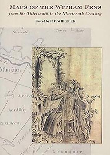
The low-lying parts of Lincolnshire are covered by an array of maps of intermediate scope, covering a greater area than a single parish but less than the whole county. Typically produced in connection with drainage or water transport, and considerably predating the Ordnance Survey, to which many are comparable, they go back as far as the medieval period, with the remarkable Kirkstead Psalter Map of the West and Wildmore Fens [c.1232-39], and continue to the late nineteenth century.
. This volume covers the Witham Valley, with the East, West and Wildmore Fens north of Boston, but extending as far as Grantham and Skegness, reproducing the most important of the maps and listing the less useful ones. The history of the drainage of the area is unusually dramatic. By 1750 the Witham was a failed river: the winter floods were worse than they had been for centuries and navigation from Boston to Lincoln had ceased. Over the following sixty years, local interests, aided by some able engineers, brought both navigation and drainage to a state of perfection that made Lincolnshire prosperous and fed the industrial north. These maps, reproduced here to a very high quality and in both colour and black and white, are an essential tool for understanding this history, and the volume thus illuminates certain episodes that have previously been opaque. They are accompanied by a cartobibliography and introduction.
$9.00 standard shipping within Australia
FREE standard shipping within Australia for orders over $100.00
Express & International shipping calculated at checkout
The low-lying parts of Lincolnshire are covered by an array of maps of intermediate scope, covering a greater area than a single parish but less than the whole county. Typically produced in connection with drainage or water transport, and considerably predating the Ordnance Survey, to which many are comparable, they go back as far as the medieval period, with the remarkable Kirkstead Psalter Map of the West and Wildmore Fens [c.1232-39], and continue to the late nineteenth century.
. This volume covers the Witham Valley, with the East, West and Wildmore Fens north of Boston, but extending as far as Grantham and Skegness, reproducing the most important of the maps and listing the less useful ones. The history of the drainage of the area is unusually dramatic. By 1750 the Witham was a failed river: the winter floods were worse than they had been for centuries and navigation from Boston to Lincoln had ceased. Over the following sixty years, local interests, aided by some able engineers, brought both navigation and drainage to a state of perfection that made Lincolnshire prosperous and fed the industrial north. These maps, reproduced here to a very high quality and in both colour and black and white, are an essential tool for understanding this history, and the volume thus illuminates certain episodes that have previously been opaque. They are accompanied by a cartobibliography and introduction.
Search our extensive online catalogue.
