Readings Newsletter
Become a Readings Member to make your shopping experience even easier.
Sign in or sign up for free!
You’re not far away from qualifying for FREE standard shipping within Australia
You’ve qualified for FREE standard shipping within Australia
The cart is loading…


The
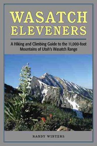
Wasatch Mountains sit on the western edge of the Rockies. Stretching south
through Utah from Bear River in the north to Mount Nebo in the central part
of the state, their peaks dominate the skyline of Salt Lake City and nearby
urban areas. Elevations range from 9,000 to almost 12,000 feet, with eighteen
peaks above 11,000 feet. All of the 11ers can be summited as a day-hike,
without the use of climbing gear.
This guide provides information on trailhead access, approaches, and routes
for every 11,000-foot peak. It includes overview maps of major roads,
topographical overview maps, and detailed route maps for each peak. There are
also total roundtrip mileages, elevation-gain (or loss) figures, and
alternate routes to help hikers plan their adventures.
Featured peaks include North Mount Nebo, South Mount Nebo, Middle Mount
Nebo, Mount Timpanogos, ‘South’ Timpanogos, West American Fork Twin Peak,
‘North’ Timpanogos, ‘South’ American Fork Twin Peak, Unnamed 11,383, Unnamed
11,347, East Broads Fork Twin Peak, West Broads Fork Twin Peak, Pfeifferhorn,
White Baldy, Sunrise Peak, Unnamed 11,288, Lone Peak, North Peak, Red Baldy,
Red Top Mountain, South Thunder, North Thunder, Unnamed 11,137, Monte Cristo
Peak, Dromedary Peak, Box Elder Peak, Mount Baldy, Provo Peak, Sugarloaf
Mountain, ‘East’ Provo Peak, Mount Superior, and ‘East’ American Fork Twin
Peak.
$9.00 standard shipping within Australia
FREE standard shipping within Australia for orders over $100.00
Express & International shipping calculated at checkout
The
Wasatch Mountains sit on the western edge of the Rockies. Stretching south
through Utah from Bear River in the north to Mount Nebo in the central part
of the state, their peaks dominate the skyline of Salt Lake City and nearby
urban areas. Elevations range from 9,000 to almost 12,000 feet, with eighteen
peaks above 11,000 feet. All of the 11ers can be summited as a day-hike,
without the use of climbing gear.
This guide provides information on trailhead access, approaches, and routes
for every 11,000-foot peak. It includes overview maps of major roads,
topographical overview maps, and detailed route maps for each peak. There are
also total roundtrip mileages, elevation-gain (or loss) figures, and
alternate routes to help hikers plan their adventures.
Featured peaks include North Mount Nebo, South Mount Nebo, Middle Mount
Nebo, Mount Timpanogos, ‘South’ Timpanogos, West American Fork Twin Peak,
‘North’ Timpanogos, ‘South’ American Fork Twin Peak, Unnamed 11,383, Unnamed
11,347, East Broads Fork Twin Peak, West Broads Fork Twin Peak, Pfeifferhorn,
White Baldy, Sunrise Peak, Unnamed 11,288, Lone Peak, North Peak, Red Baldy,
Red Top Mountain, South Thunder, North Thunder, Unnamed 11,137, Monte Cristo
Peak, Dromedary Peak, Box Elder Peak, Mount Baldy, Provo Peak, Sugarloaf
Mountain, ‘East’ Provo Peak, Mount Superior, and ‘East’ American Fork Twin
Peak.
Search our extensive online catalogue.
