Readings Newsletter
Become a Readings Member to make your shopping experience even easier.
Sign in or sign up for free!
You’re not far away from qualifying for FREE standard shipping within Australia
You’ve qualified for FREE standard shipping within Australia
The cart is loading…


This title is printed to order. This book may have been self-published. If so, we cannot guarantee the quality of the content. In the main most books will have gone through the editing process however some may not. We therefore suggest that you be aware of this before ordering this book. If in doubt check either the author or publisher’s details as we are unable to accept any returns unless they are faulty. Please contact us if you have any questions.
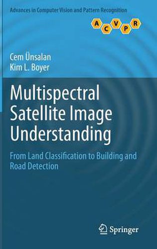
This book presents a comprehensive review of image processing methods, for the analysis of land use in residential areas. Combining a theoretical framework with highly practical applications, the book describes a system for the effective detection of single houses and streets in very high resolution. Topics and features: with a Foreword by Prof. Dr. Peter Reinartz of the German Aerospace Center; provides end-of-chapter summaries and review questions; presents a detailed review on remote sensing satellites; examines the multispectral information that can be obtained from satellite images, with a focus on vegetation and shadow-water indices; investigates methods for land-use classification, introducing precise graph theoretical measures over panchromatic images; addresses the problem of detecting residential regions; describes a house and street network-detection subsystem; concludes with a summary of the key ideas covered in the book.
$9.00 standard shipping within Australia
FREE standard shipping within Australia for orders over $100.00
Express & International shipping calculated at checkout
This title is printed to order. This book may have been self-published. If so, we cannot guarantee the quality of the content. In the main most books will have gone through the editing process however some may not. We therefore suggest that you be aware of this before ordering this book. If in doubt check either the author or publisher’s details as we are unable to accept any returns unless they are faulty. Please contact us if you have any questions.
This book presents a comprehensive review of image processing methods, for the analysis of land use in residential areas. Combining a theoretical framework with highly practical applications, the book describes a system for the effective detection of single houses and streets in very high resolution. Topics and features: with a Foreword by Prof. Dr. Peter Reinartz of the German Aerospace Center; provides end-of-chapter summaries and review questions; presents a detailed review on remote sensing satellites; examines the multispectral information that can be obtained from satellite images, with a focus on vegetation and shadow-water indices; investigates methods for land-use classification, introducing precise graph theoretical measures over panchromatic images; addresses the problem of detecting residential regions; describes a house and street network-detection subsystem; concludes with a summary of the key ideas covered in the book.