Readings Newsletter
Become a Readings Member to make your shopping experience even easier.
Sign in or sign up for free!
You’re not far away from qualifying for FREE standard shipping within Australia
You’ve qualified for FREE standard shipping within Australia
The cart is loading…


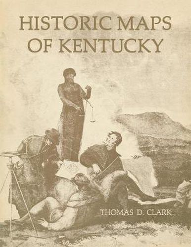
Maps published frorn the third quarter of the eighteenth century through the Civil War reflect in colorful detail the emergence of the Commonwealth of Kentucky and the unfolding art of American cartography. Ten maps, selected and annotated by the most eminent historian of Kentucky, have been reproduced in authentic facsimiles. The accompanying booklet includes an illuminating historical essay, as well as notes on the individuaL facsimiles, and is illustrated with numerous details of other notable Kentucky maps. Among the rare maps reproduced are one of the battlefield of Perryville (1877), a colorful travelers’ map (1839), and a map of the Falls of the Ohio (1806) believed to be the first map printed in Kentucky.
$9.00 standard shipping within Australia
FREE standard shipping within Australia for orders over $100.00
Express & International shipping calculated at checkout
Maps published frorn the third quarter of the eighteenth century through the Civil War reflect in colorful detail the emergence of the Commonwealth of Kentucky and the unfolding art of American cartography. Ten maps, selected and annotated by the most eminent historian of Kentucky, have been reproduced in authentic facsimiles. The accompanying booklet includes an illuminating historical essay, as well as notes on the individuaL facsimiles, and is illustrated with numerous details of other notable Kentucky maps. Among the rare maps reproduced are one of the battlefield of Perryville (1877), a colorful travelers’ map (1839), and a map of the Falls of the Ohio (1806) believed to be the first map printed in Kentucky.
Search our extensive online catalogue.
