Readings Newsletter
Become a Readings Member to make your shopping experience even easier.
Sign in or sign up for free!
You’re not far away from qualifying for FREE standard shipping within Australia
You’ve qualified for FREE standard shipping within Australia
The cart is loading…


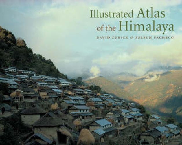
The Himalaya inspire the notion of Shangri-la and are world renowned for their exquisite mountain scenery and the ancient cultures that tenaciously inhabit this harsh and sublime landscape. Home to all fourteen of the world’s highest peaks, including Mount Everest, and some of its deepest gorges, the region is a trove of biological and cultural diversity. A sweeping overview of the geography, economics, politics, and culture of this spectacular region, the Illustrated Atlas of the Himalaya is the first full-color, comprehensive atlas of contemporary land and life in the Earth’s highest mountains. Drawing from the authors’ twenty-five years of scholarship and personal experience in the region, the volume contains a stunning and unique collection of informative maps based on state-of-the-art cartography, exquisite photography, and compelling text to give accurate coverage of the Himalaya. The entire 2,700-kilometer length of the range is covered, from the Indus Valley in northern Pakistan and India, across Nepal and Bhutan, to the hidden realms of northeast India. With over 300 artfully produced four-color maps and photographs, the Illustrated Atlas of the Himalaya is an indispensable reference and a superb collector’s volume for anyone interested in the vast mountain panorama that is the Himalaya.
$9.00 standard shipping within Australia
FREE standard shipping within Australia for orders over $100.00
Express & International shipping calculated at checkout
Stock availability can be subject to change without notice. We recommend calling the shop or contacting our online team to check availability of low stock items. Please see our Shopping Online page for more details.
The Himalaya inspire the notion of Shangri-la and are world renowned for their exquisite mountain scenery and the ancient cultures that tenaciously inhabit this harsh and sublime landscape. Home to all fourteen of the world’s highest peaks, including Mount Everest, and some of its deepest gorges, the region is a trove of biological and cultural diversity. A sweeping overview of the geography, economics, politics, and culture of this spectacular region, the Illustrated Atlas of the Himalaya is the first full-color, comprehensive atlas of contemporary land and life in the Earth’s highest mountains. Drawing from the authors’ twenty-five years of scholarship and personal experience in the region, the volume contains a stunning and unique collection of informative maps based on state-of-the-art cartography, exquisite photography, and compelling text to give accurate coverage of the Himalaya. The entire 2,700-kilometer length of the range is covered, from the Indus Valley in northern Pakistan and India, across Nepal and Bhutan, to the hidden realms of northeast India. With over 300 artfully produced four-color maps and photographs, the Illustrated Atlas of the Himalaya is an indispensable reference and a superb collector’s volume for anyone interested in the vast mountain panorama that is the Himalaya.
Search our extensive online catalogue.
