Readings Newsletter
Become a Readings Member to make your shopping experience even easier.
Sign in or sign up for free!
You’re not far away from qualifying for FREE standard shipping within Australia
You’ve qualified for FREE standard shipping within Australia
The cart is loading…


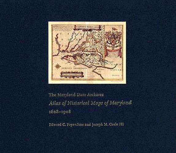
Maryland presents cartographers with a formidable test of their skills: unusual natural boundaries, border disputes, and in 1790 the gift of 67 square miles for the creation of the District of Columbia have given the state a distinctively irregular configuration. Since the early 17th century, generations of mapmakers have met this challenge with artistic imagination and a variety of cartographical techniques. In this volume, Edward C. Papenfuse and Joseph M. Coale III bring together in one volume the results of these efforts, from Captain John Smith’s 1608 detailed sketch of the region to the map resulting from the Supreme Court’s determination of the state’s western border in 1908. Utilizing the latest digital imaging and printing technology, the Atlas contains full-colour reproductions of more than 250 of the most significant historical maps from state and federal archives. The collection - a thoroughly updated and greatly expanded version of the authors’ book, The Hammond-Harwood House Atlas of Historical Maps of Maryland (1982) - provides an in-depth history of mapmaking in Maryland and charts the state’s early settlement patterns.
$9.00 standard shipping within Australia
FREE standard shipping within Australia for orders over $100.00
Express & International shipping calculated at checkout
Stock availability can be subject to change without notice. We recommend calling the shop or contacting our online team to check availability of low stock items. Please see our Shopping Online page for more details.
Maryland presents cartographers with a formidable test of their skills: unusual natural boundaries, border disputes, and in 1790 the gift of 67 square miles for the creation of the District of Columbia have given the state a distinctively irregular configuration. Since the early 17th century, generations of mapmakers have met this challenge with artistic imagination and a variety of cartographical techniques. In this volume, Edward C. Papenfuse and Joseph M. Coale III bring together in one volume the results of these efforts, from Captain John Smith’s 1608 detailed sketch of the region to the map resulting from the Supreme Court’s determination of the state’s western border in 1908. Utilizing the latest digital imaging and printing technology, the Atlas contains full-colour reproductions of more than 250 of the most significant historical maps from state and federal archives. The collection - a thoroughly updated and greatly expanded version of the authors’ book, The Hammond-Harwood House Atlas of Historical Maps of Maryland (1982) - provides an in-depth history of mapmaking in Maryland and charts the state’s early settlement patterns.
Search our extensive online catalogue.
