Readings Newsletter
Become a Readings Member to make your shopping experience even easier.
Sign in or sign up for free!
You’re not far away from qualifying for FREE standard shipping within Australia
You’ve qualified for FREE standard shipping within Australia
The cart is loading…


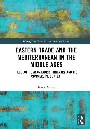
At the end of the High Middle Ages in Europe, with buying power and economic sophistication at a high, an itinerary detailing the toll stations along a commercial artery carrying eastern goods (from China, India and Iran) towards Europe was compiled, and later incorporated in the well-known trading manual of the Florentine bank official Pegolotti; Pegolotti was twice stationed in the city of Famagusta in Cyprus, which lay opposite the city of Ayas where the land route ended. The Il-Khanid capital, Tabriz in Iran, attracting expensive merchandise such as spices and silk from a variety of origins, was the road’s starting-point.
To demonstrate the importance of the route in its own time, parallel and contemporary routes in the Black Sea and the Levant are traced and the effect of trade on their cities noted. To compare the Ayas itinerary (1250s to 1330s) with previous periods the networks of commercial avenues in the previous period (1100-1250) and the subsequent one (1340s to 1500) are reconstructed. In each period the connection of east-west trade with the main movements of the European economy are fully drawn out, and the effects on the building history of the three main Italian cities concerned (Venice, Genoa and Florence) are sketched.
Attention then turns to the Pegolotti itinerary itself. The individual toll stations are identified employing a variety of means, such as names taken from the Roman itineraries (Peutinger Table and Antonine Itinerary) and archaeological data; this allows the course of the track to be followed through diverse topography to the city of Sivas, then across plains and through passes to Erzurum and finally to Tabriz. A picture is drawn of the urban history of each major city, including Sivas, Erzurum and Tabriz itself, and of the other towns along the route.
$9.00 standard shipping within Australia
FREE standard shipping within Australia for orders over $100.00
Express & International shipping calculated at checkout
Stock availability can be subject to change without notice. We recommend calling the shop or contacting our online team to check availability of low stock items. Please see our Shopping Online page for more details.
At the end of the High Middle Ages in Europe, with buying power and economic sophistication at a high, an itinerary detailing the toll stations along a commercial artery carrying eastern goods (from China, India and Iran) towards Europe was compiled, and later incorporated in the well-known trading manual of the Florentine bank official Pegolotti; Pegolotti was twice stationed in the city of Famagusta in Cyprus, which lay opposite the city of Ayas where the land route ended. The Il-Khanid capital, Tabriz in Iran, attracting expensive merchandise such as spices and silk from a variety of origins, was the road’s starting-point.
To demonstrate the importance of the route in its own time, parallel and contemporary routes in the Black Sea and the Levant are traced and the effect of trade on their cities noted. To compare the Ayas itinerary (1250s to 1330s) with previous periods the networks of commercial avenues in the previous period (1100-1250) and the subsequent one (1340s to 1500) are reconstructed. In each period the connection of east-west trade with the main movements of the European economy are fully drawn out, and the effects on the building history of the three main Italian cities concerned (Venice, Genoa and Florence) are sketched.
Attention then turns to the Pegolotti itinerary itself. The individual toll stations are identified employing a variety of means, such as names taken from the Roman itineraries (Peutinger Table and Antonine Itinerary) and archaeological data; this allows the course of the track to be followed through diverse topography to the city of Sivas, then across plains and through passes to Erzurum and finally to Tabriz. A picture is drawn of the urban history of each major city, including Sivas, Erzurum and Tabriz itself, and of the other towns along the route.