Readings Newsletter
Become a Readings Member to make your shopping experience even easier.
Sign in or sign up for free!
You’re not far away from qualifying for FREE standard shipping within Australia
You’ve qualified for FREE standard shipping within Australia
The cart is loading…


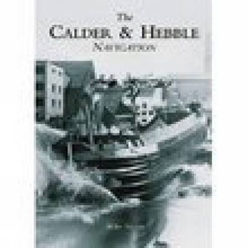
The River Calder rises in the Pennines north of Todmorden and flows to Sowerby Bridge and Salterhebble, where it receives the Hebble Brook. The river then flows through Elland, Brighouse, Mirfield and Dewsbury before reaching the Aire Calder Navigation at Wakefield. The river was made navigable in the 1770s and soon after, with the construction of the Rochdale, Huddersfield and Huddersfield Narrow canals, became part of the Mersey-Humber trade routes. Trade was brisk for many years but by the 1940s the canal was in decline; the Halifax branch was closed and surrounding canals abandoned. However, commecial traffic on the navigation soldiered on till 1981, when shipments to Thornhill Power Station ceased. Illustrated within the pages of the Calder Hebble Navigation are over 200 images of canal boats (both horse-drawn and motor-powered), items of canal furniture and activity on the navigation’s many wharfs.
$9.00 standard shipping within Australia
FREE standard shipping within Australia for orders over $100.00
Express & International shipping calculated at checkout
Stock availability can be subject to change without notice. We recommend calling the shop or contacting our online team to check availability of low stock items. Please see our Shopping Online page for more details.
The River Calder rises in the Pennines north of Todmorden and flows to Sowerby Bridge and Salterhebble, where it receives the Hebble Brook. The river then flows through Elland, Brighouse, Mirfield and Dewsbury before reaching the Aire Calder Navigation at Wakefield. The river was made navigable in the 1770s and soon after, with the construction of the Rochdale, Huddersfield and Huddersfield Narrow canals, became part of the Mersey-Humber trade routes. Trade was brisk for many years but by the 1940s the canal was in decline; the Halifax branch was closed and surrounding canals abandoned. However, commecial traffic on the navigation soldiered on till 1981, when shipments to Thornhill Power Station ceased. Illustrated within the pages of the Calder Hebble Navigation are over 200 images of canal boats (both horse-drawn and motor-powered), items of canal furniture and activity on the navigation’s many wharfs.
Search our extensive online catalogue.
