Readings Newsletter
Become a Readings Member to make your shopping experience even easier.
Sign in or sign up for free!
You’re not far away from qualifying for FREE standard shipping within Australia
You’ve qualified for FREE standard shipping within Australia
The cart is loading…


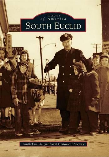
Moses Cleaveland’s surveyors began dividing Connecticut’s Western Reserve into townships and tracts for sale to settlers in 1796. The southern portion of Euclid Township included a wooded plateau that could be harvested and cleared for farming and orchards. Small factories made wooden baskets for carrying produce to the markets in the growing city of Cleveland to the west. Streambeds deeply eroded the edge of the plateau, exposing a rich layer of dense sandstone, and as a result quarries developed along Euclid Creek where this valuable stone was most accessible. A small, separate community called Bluestone grew to support the industry but was absorbed when the quarries became uneconomical. In 1877, a plank toll road named Mayfield was built eastward from Cleveland through the area that became South Euclid. In the early 1900s, the planks were replaced by paved road and an interurban rail line carrying both passenger and freight cars. The road eased transportation for farmers and became the heart of today’s business district.
$9.00 standard shipping within Australia
FREE standard shipping within Australia for orders over $100.00
Express & International shipping calculated at checkout
Moses Cleaveland’s surveyors began dividing Connecticut’s Western Reserve into townships and tracts for sale to settlers in 1796. The southern portion of Euclid Township included a wooded plateau that could be harvested and cleared for farming and orchards. Small factories made wooden baskets for carrying produce to the markets in the growing city of Cleveland to the west. Streambeds deeply eroded the edge of the plateau, exposing a rich layer of dense sandstone, and as a result quarries developed along Euclid Creek where this valuable stone was most accessible. A small, separate community called Bluestone grew to support the industry but was absorbed when the quarries became uneconomical. In 1877, a plank toll road named Mayfield was built eastward from Cleveland through the area that became South Euclid. In the early 1900s, the planks were replaced by paved road and an interurban rail line carrying both passenger and freight cars. The road eased transportation for farmers and became the heart of today’s business district.
Search our extensive online catalogue.
