Readings Newsletter
Become a Readings Member to make your shopping experience even easier.
Sign in or sign up for free!
You’re not far away from qualifying for FREE standard shipping within Australia
You’ve qualified for FREE standard shipping within Australia
The cart is loading…


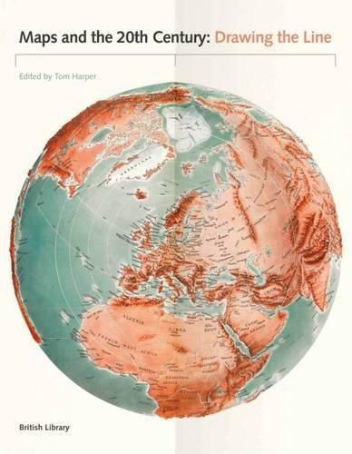
The 20th century was a period of profound political, social and technological change. Population growth and movement, revolutions in transportation and communication, and the onset of the digital age meant that life would never be the same. It is impossible to overstate the significance of maps, which crept into everyday life during this period. They were both unsung heroes and unreliable witnesses capable of informing but also misleading. They are always subjective, and always worthy of interrogation. Highlights of this global study include a trench-map of the Somme battlefields, a bomb damage map of London, early maps of the ocean floor, a poster showing Mao studying a map on his Long March and a Russian moon globe from 1961. Other maps discussed here include: the United Nations flag, the first stamps of Independent Latvia (1918) printed on the backs of maps, and a motorway sign. As well as sheet maps and atlases, the book gathers models, stamps, medals, manuscripts, printed books, embroidery and photographs. The book also examines changes in mapping technology, from the land surveys of 1900 to the development of satellite imagery by 2000.
$9.00 standard shipping within Australia
FREE standard shipping within Australia for orders over $100.00
Express & International shipping calculated at checkout
The 20th century was a period of profound political, social and technological change. Population growth and movement, revolutions in transportation and communication, and the onset of the digital age meant that life would never be the same. It is impossible to overstate the significance of maps, which crept into everyday life during this period. They were both unsung heroes and unreliable witnesses capable of informing but also misleading. They are always subjective, and always worthy of interrogation. Highlights of this global study include a trench-map of the Somme battlefields, a bomb damage map of London, early maps of the ocean floor, a poster showing Mao studying a map on his Long March and a Russian moon globe from 1961. Other maps discussed here include: the United Nations flag, the first stamps of Independent Latvia (1918) printed on the backs of maps, and a motorway sign. As well as sheet maps and atlases, the book gathers models, stamps, medals, manuscripts, printed books, embroidery and photographs. The book also examines changes in mapping technology, from the land surveys of 1900 to the development of satellite imagery by 2000.
Search our extensive online catalogue.
