Readings Newsletter
Become a Readings Member to make your shopping experience even easier.
Sign in or sign up for free!
You’re not far away from qualifying for FREE standard shipping within Australia
You’ve qualified for FREE standard shipping within Australia
The cart is loading…


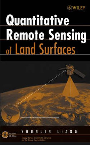
Processing the vast amounts of data on the Earth’s land surface environment generated by NASA’s and other international satellite programs is a significant challenge. Filling a gap between the theoretical, physically-based modelling and specific applications, this in-depth study presents practical quantitative algorithms for estimating various land surface variables from remotely sensed observations. A concise review of the basic principles of optical remote sensing as well as practical algorithms for estimating land surface variables quantitatively from remotely sensed observations. Emphasizes both the basic principles of optical remote sensing and practical algorithms for estimating land surface variables quantitatively from remotely sensed observations Presents the current physical understanding of remote sensing as a system with a focus on radiative transfer modelling of the atmosphere, canopy, soil and snow Gathers the state of the art quantitative algorithms for sensor calibration, atmospheric and topographic correction, estimation of a variety of biophysical and geoph ysical variables, and four-dimensional data assimilation
$9.00 standard shipping within Australia
FREE standard shipping within Australia for orders over $100.00
Express & International shipping calculated at checkout
Processing the vast amounts of data on the Earth’s land surface environment generated by NASA’s and other international satellite programs is a significant challenge. Filling a gap between the theoretical, physically-based modelling and specific applications, this in-depth study presents practical quantitative algorithms for estimating various land surface variables from remotely sensed observations. A concise review of the basic principles of optical remote sensing as well as practical algorithms for estimating land surface variables quantitatively from remotely sensed observations. Emphasizes both the basic principles of optical remote sensing and practical algorithms for estimating land surface variables quantitatively from remotely sensed observations Presents the current physical understanding of remote sensing as a system with a focus on radiative transfer modelling of the atmosphere, canopy, soil and snow Gathers the state of the art quantitative algorithms for sensor calibration, atmospheric and topographic correction, estimation of a variety of biophysical and geoph ysical variables, and four-dimensional data assimilation