Readings Newsletter
Become a Readings Member to make your shopping experience even easier.
Sign in or sign up for free!
You’re not far away from qualifying for FREE standard shipping within Australia
You’ve qualified for FREE standard shipping within Australia
The cart is loading…


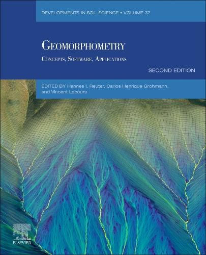
Geomorphometry: Concepts, Software, Applications, Second Edition aims to inform, educate, and assist users in the field by expanding the reach of the Geomorphometry community's knowledge. Geomorphometry, the science of quantitative land-surface analysis, evolved from geomorphology and quantitative terrain analysis, rooted in 19th-century geometry and physical geography. The modern discipline addresses the processing of elevation data, topography visualization, and numerous numerical analyses. Focusing on continuous land-surface and discrete features like watersheds, geomorphometry's operational goal is the extraction of measures and spatial features from digital topography.
Since the book's first edition in 2009, there have been significant advancements in data production methods, the data itself, and software applications. The editors have proposed a second edition, maintaining the original structure while incorporating these improvements. The book also covers the refinement and analysis of digital elevation models (DEMs), the use of GIS tools, and the application of geomorphometric techniques in various fields such as hydrology, ecology, and urban planning.
$9.00 standard shipping within Australia
FREE standard shipping within Australia for orders over $100.00
Express & International shipping calculated at checkout
Stock availability can be subject to change without notice. We recommend calling the shop or contacting our online team to check availability of low stock items. Please see our Shopping Online page for more details.
Geomorphometry: Concepts, Software, Applications, Second Edition aims to inform, educate, and assist users in the field by expanding the reach of the Geomorphometry community's knowledge. Geomorphometry, the science of quantitative land-surface analysis, evolved from geomorphology and quantitative terrain analysis, rooted in 19th-century geometry and physical geography. The modern discipline addresses the processing of elevation data, topography visualization, and numerous numerical analyses. Focusing on continuous land-surface and discrete features like watersheds, geomorphometry's operational goal is the extraction of measures and spatial features from digital topography.
Since the book's first edition in 2009, there have been significant advancements in data production methods, the data itself, and software applications. The editors have proposed a second edition, maintaining the original structure while incorporating these improvements. The book also covers the refinement and analysis of digital elevation models (DEMs), the use of GIS tools, and the application of geomorphometric techniques in various fields such as hydrology, ecology, and urban planning.