Readings Newsletter
Become a Readings Member to make your shopping experience even easier.
Sign in or sign up for free!
You’re not far away from qualifying for FREE standard shipping within Australia
You’ve qualified for FREE standard shipping within Australia
The cart is loading…


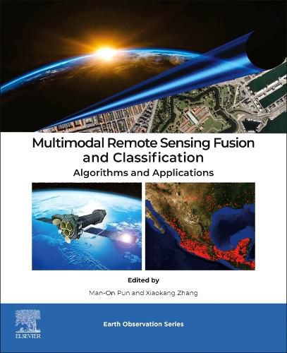
Multimodal Remote Sensing Data Fusion for Classification: Algorithms and Applications offers a comprehensive overview of Earth observation data fusion, focusing on multimodal remote sensing. It presents state-of-the-art algorithms and practical applications that enhance understanding of Earth's dynamic processes. Through detailed analysis, case studies, and practical examples, this book equips readers with the necessary tools to effectively utilize multimodal data fusion for land cover and land use classification, as well as environmental monitoring, making it an invaluable resource for those in remote sensing and Earth sciences.
Furthermore, the book is tailored for Masters and Doctorate students, scientists, and professionals in remote sensing, geography, and Earth sciences. It delves into the integration and analysis of multimodal remote sensing data, offering insights into sustainable solutions for environmental challenges. This comprehensive coverage ensures readers are well-versed in the cutting-edge techniques and methodologies required for advanced Earth observation and classification tasks.
$9.00 standard shipping within Australia
FREE standard shipping within Australia for orders over $100.00
Express & International shipping calculated at checkout
Multimodal Remote Sensing Data Fusion for Classification: Algorithms and Applications offers a comprehensive overview of Earth observation data fusion, focusing on multimodal remote sensing. It presents state-of-the-art algorithms and practical applications that enhance understanding of Earth's dynamic processes. Through detailed analysis, case studies, and practical examples, this book equips readers with the necessary tools to effectively utilize multimodal data fusion for land cover and land use classification, as well as environmental monitoring, making it an invaluable resource for those in remote sensing and Earth sciences.
Furthermore, the book is tailored for Masters and Doctorate students, scientists, and professionals in remote sensing, geography, and Earth sciences. It delves into the integration and analysis of multimodal remote sensing data, offering insights into sustainable solutions for environmental challenges. This comprehensive coverage ensures readers are well-versed in the cutting-edge techniques and methodologies required for advanced Earth observation and classification tasks.