Readings Newsletter
Become a Readings Member to make your shopping experience even easier.
Sign in or sign up for free!
You’re not far away from qualifying for FREE standard shipping within Australia
You’ve qualified for FREE standard shipping within Australia
The cart is loading…


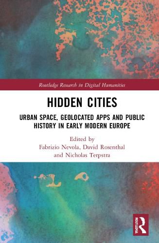
This ground-breaking collection explores the convergence of the spatial and digital turns through a consideration of a suite of smartphone apps (Hidden Cities) that situate research-led itineraries in early modern cities, proposing an innovative historical methodology and providing a novel medium for audience engagement.
This book explores how the team digitally mapped the cities of Florence, Valencia, Trento, Hamburg, Deventer and Exeter as they were during the Renaissance and what historians can learn by doing this, which would not be possible by looking at just textual and visual sources.
Providing researchers with a ‘how to guide’ along with case studies to explore how digital technologies can support more traditional research to move the field forward.
$9.00 standard shipping within Australia
FREE standard shipping within Australia for orders over $100.00
Express & International shipping calculated at checkout
Stock availability can be subject to change without notice. We recommend calling the shop or contacting our online team to check availability of low stock items. Please see our Shopping Online page for more details.
This ground-breaking collection explores the convergence of the spatial and digital turns through a consideration of a suite of smartphone apps (Hidden Cities) that situate research-led itineraries in early modern cities, proposing an innovative historical methodology and providing a novel medium for audience engagement.
This book explores how the team digitally mapped the cities of Florence, Valencia, Trento, Hamburg, Deventer and Exeter as they were during the Renaissance and what historians can learn by doing this, which would not be possible by looking at just textual and visual sources.
Providing researchers with a ‘how to guide’ along with case studies to explore how digital technologies can support more traditional research to move the field forward.