Readings Newsletter
Become a Readings Member to make your shopping experience even easier.
Sign in or sign up for free!
You’re not far away from qualifying for FREE standard shipping within Australia
You’ve qualified for FREE standard shipping within Australia
The cart is loading…


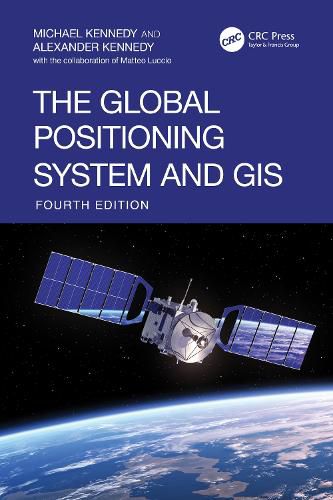
Now in its fourth edition, The Global Positioning System and GIS arrives at a critical moment of transition- a time when new methods for collecting position and attribute data are reshaping how information is integrated into Geographic Information Systems (GIS).
This edition is uniquely structured to reflect this shift: each chapter is divided into two sections- one covering "Newer Technology," including the latest advances in hardware, software, and cloud- based data collection, and the other preserving and refining "Older Technology" techniques from the third edition.
As GIS platforms represent the Earth with increasing precision and Global Navigation Satellite Systems (GNSS) deliver accuracy down to the centimeter, this book equips readers with proven, practical methods for building highly accurate and actionable geospatial datasets across a wide variety of devices and platforms.
Features:
Clear, practical, and deeply informed by the evolution of the field, The Global Positioning System and GIS, first published in 1996, remains the definitive resource for anyone working where geospatial accuracy matters- from students and researchers to GIS professionals across all disciplines.
$9.00 standard shipping within Australia
FREE standard shipping within Australia for orders over $100.00
Express & International shipping calculated at checkout
Now in its fourth edition, The Global Positioning System and GIS arrives at a critical moment of transition- a time when new methods for collecting position and attribute data are reshaping how information is integrated into Geographic Information Systems (GIS).
This edition is uniquely structured to reflect this shift: each chapter is divided into two sections- one covering "Newer Technology," including the latest advances in hardware, software, and cloud- based data collection, and the other preserving and refining "Older Technology" techniques from the third edition.
As GIS platforms represent the Earth with increasing precision and Global Navigation Satellite Systems (GNSS) deliver accuracy down to the centimeter, this book equips readers with proven, practical methods for building highly accurate and actionable geospatial datasets across a wide variety of devices and platforms.
Features:
Clear, practical, and deeply informed by the evolution of the field, The Global Positioning System and GIS, first published in 1996, remains the definitive resource for anyone working where geospatial accuracy matters- from students and researchers to GIS professionals across all disciplines.