Readings Newsletter
Become a Readings Member to make your shopping experience even easier.
Sign in or sign up for free!
You’re not far away from qualifying for FREE standard shipping within Australia
You’ve qualified for FREE standard shipping within Australia
The cart is loading…


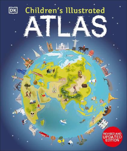
A world atlas for kids - packed full of beautiful illustrations and incredible photographs
Set off on a thrilling journey around the world.
DK’s Children’s Illustrated Atlas brings the world to life with colourful maps and fascinating facts about the countries of the world.
Each map is bursting with information, combining colourful icons with photographs representing key points about each country. The atlas includes a world map, with a political map for each continent. Children are shown how to read a map and use a key, compass, and scale. This charming and informative book is a key addition to every child’s library.
$9.00 standard shipping within Australia
FREE standard shipping within Australia for orders over $100.00
Express & International shipping calculated at checkout
Stock availability can be subject to change without notice. We recommend calling the shop or contacting our online team to check availability of low stock items. Please see our Shopping Online page for more details.
A world atlas for kids - packed full of beautiful illustrations and incredible photographs
Set off on a thrilling journey around the world.
DK’s Children’s Illustrated Atlas brings the world to life with colourful maps and fascinating facts about the countries of the world.
Each map is bursting with information, combining colourful icons with photographs representing key points about each country. The atlas includes a world map, with a political map for each continent. Children are shown how to read a map and use a key, compass, and scale. This charming and informative book is a key addition to every child’s library.
From volcanos to great lakes to majestic mountains – these books will help introduce kids to the incredible geography of the world.
Search our extensive online catalogue.