Readings Newsletter
Become a Readings Member to make your shopping experience even easier.
Sign in or sign up for free!
You’re not far away from qualifying for FREE standard shipping within Australia
You’ve qualified for FREE standard shipping within Australia
The cart is loading…


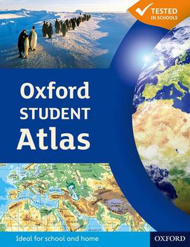
The Oxford Student Atlas includes stunning satellite images, country data, and easy-to-read colourful mapping, presented in an accessible visual layout based on research into how students use maps. The atlas covers key exam specification themes and issues such as earthquakes and volcanoes, climate and climate change, economic activity, development, and globalisation. It includes comprehensive coverage of the British Isles, Europe, and the world.It is the ideal atlas for students to use on exam courses.
$9.00 standard shipping within Australia
FREE standard shipping within Australia for orders over $100.00
Express & International shipping calculated at checkout
Stock availability can be subject to change without notice. We recommend calling the shop or contacting our online team to check availability of low stock items. Please see our Shopping Online page for more details.
The Oxford Student Atlas includes stunning satellite images, country data, and easy-to-read colourful mapping, presented in an accessible visual layout based on research into how students use maps. The atlas covers key exam specification themes and issues such as earthquakes and volcanoes, climate and climate change, economic activity, development, and globalisation. It includes comprehensive coverage of the British Isles, Europe, and the world.It is the ideal atlas for students to use on exam courses.
Search our extensive online catalogue.
