Readings Newsletter
Become a Readings Member to make your shopping experience even easier.
Sign in or sign up for free!
You’re not far away from qualifying for FREE standard shipping within Australia
You’ve qualified for FREE standard shipping within Australia
The cart is loading…


The British Cartographic Society
WINNER The BCS Award 2015
WINNER The Stanfords Award for Printed Mapping 2015
WINNER John C Bartholomew Award for Thematic Mapping 2015
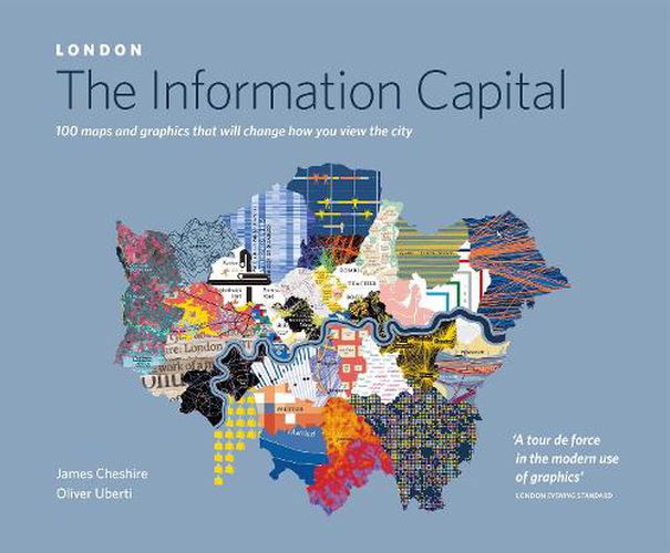
In London: The Information Capital, geographer James Cheshire and designer Oliver Uberti join forces to bring you a series of new maps and graphics charting life in London like never before
When do police helicopters catch criminals? Which borough of London is the happiest? Is ‘czesc’ becoming a more common greeting than ‘salaam’? James Cheshire and Oliver Uberti could tell you, but they’d rather show you. By combining millions of data points with stunning design, they investigate how flights stack over Heathrow, who lives longest, and where Londoners love to tweet. The result? One hundred portraits of an old city in a very new way.
Dr James Cheshire is a geographer with a passion for London and its data. His award-winning maps draw from his research as a lecturer at University College London and have appeared in the Guardian and the Financial Times, as well as on his popular blog, mappinglondon.co.uk. He is a Fellow of the Royal Geographical Society.
Oliver Uberti is a visual journalist, designer, and the recipient of many awards for his information graphics and art direction. From 2003 to 2012, he worked in the design department of National Geographic, most recently as Senior Design Editor. He has a design studio in Ann Arbor, Michigan.
$9.00 standard shipping within Australia
FREE standard shipping within Australia for orders over $100.00
Express & International shipping calculated at checkout
Stock availability can be subject to change without notice. We recommend calling the shop or contacting our online team to check availability of low stock items. Please see our Shopping Online page for more details.
The British Cartographic Society
WINNER The BCS Award 2015
WINNER The Stanfords Award for Printed Mapping 2015
WINNER John C Bartholomew Award for Thematic Mapping 2015
In London: The Information Capital, geographer James Cheshire and designer Oliver Uberti join forces to bring you a series of new maps and graphics charting life in London like never before
When do police helicopters catch criminals? Which borough of London is the happiest? Is ‘czesc’ becoming a more common greeting than ‘salaam’? James Cheshire and Oliver Uberti could tell you, but they’d rather show you. By combining millions of data points with stunning design, they investigate how flights stack over Heathrow, who lives longest, and where Londoners love to tweet. The result? One hundred portraits of an old city in a very new way.
Dr James Cheshire is a geographer with a passion for London and its data. His award-winning maps draw from his research as a lecturer at University College London and have appeared in the Guardian and the Financial Times, as well as on his popular blog, mappinglondon.co.uk. He is a Fellow of the Royal Geographical Society.
Oliver Uberti is a visual journalist, designer, and the recipient of many awards for his information graphics and art direction. From 2003 to 2012, he worked in the design department of National Geographic, most recently as Senior Design Editor. He has a design studio in Ann Arbor, Michigan.
Search our extensive online catalogue.
