Readings Newsletter
Become a Readings Member to make your shopping experience even easier.
Sign in or sign up for free!
You’re not far away from qualifying for FREE standard shipping within Australia
You’ve qualified for FREE standard shipping within Australia
The cart is loading…


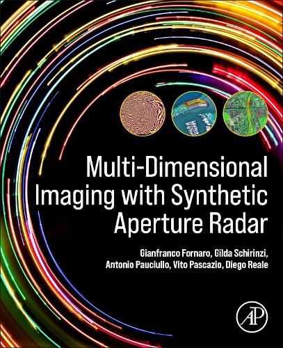
Multi-Dimensional Imaging with Synthetic Aperture Radar: Theory and Applications provides a complete description of principles, models and data processing methods, giving an introduction to the theory that underlies recent applications such as topographic mapping and natural risk situational awareness - seismic-tectonics, active volcano, landslides and subsidence monitoring - security, urban, wide area and infrastructure control. Imaging radars, specifically Synthetic Aperture Radar (SAR), generally mounted onboard satellites or airplanes, are able to provide systematic high-resolution imaging of the Earth’s surface. Recent advances in the field has seen applications to natural risk monitoring and security and has driven the development of many operational systems.
$9.00 standard shipping within Australia
FREE standard shipping within Australia for orders over $100.00
Express & International shipping calculated at checkout
Multi-Dimensional Imaging with Synthetic Aperture Radar: Theory and Applications provides a complete description of principles, models and data processing methods, giving an introduction to the theory that underlies recent applications such as topographic mapping and natural risk situational awareness - seismic-tectonics, active volcano, landslides and subsidence monitoring - security, urban, wide area and infrastructure control. Imaging radars, specifically Synthetic Aperture Radar (SAR), generally mounted onboard satellites or airplanes, are able to provide systematic high-resolution imaging of the Earth’s surface. Recent advances in the field has seen applications to natural risk monitoring and security and has driven the development of many operational systems.