Readings Newsletter
Become a Readings Member to make your shopping experience even easier.
Sign in or sign up for free!
You’re not far away from qualifying for FREE standard shipping within Australia
You’ve qualified for FREE standard shipping within Australia
The cart is loading…


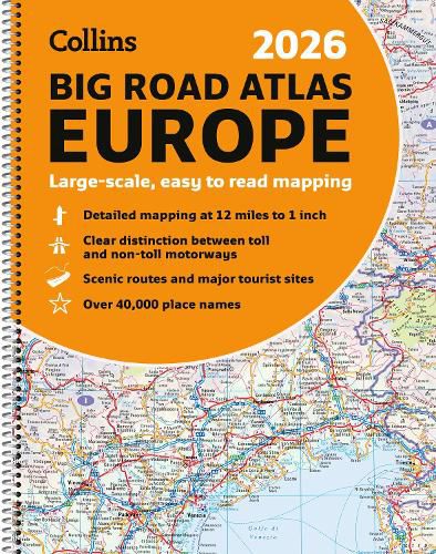
With fully-updated, large-scale mapping, there has never been an easier way to explore Europe by road. This super-clear, detailed road mapping covers all the top European tourist destinations in a large, easy-to-read format. Bask on the French Riviera, relax in sunny Sicily or discover the Dalmatian Coast; plot any of these trips with this comprehensive and accessible A3, spiral-bound atlas.
With main mapping at a scale of 12 miles to the inch, this Road Atlas of Europe is our clearest yet.
Main features
116 super-size main mapping pages 12 additional pages of route planning mapping for long distances Accessible, large print font Clarifies toll and toll free motorways for ease of use Scenic routes identified and highlighted Easy-to-use, large A3 size with handy spiral binding Full road classification Local town and city names match up with local road signs to aid navigation Legible and easy to read index Major European routes shown
Coverage of the whole of Europe at route planning scale with super-scale mapping of mainland Europe from France and Spain in the west, through Germany and Italy, to Poland, the Balkans and Greece in the Southeast.
Mapping Scales
116 pages of super-scale mapping - 12 miles to the inch (1:760,000) 12 pages of route planning maps - 55 miles to the inch (1:3,500,000)
$9.00 standard shipping within Australia
FREE standard shipping within Australia for orders over $100.00
Express & International shipping calculated at checkout
Stock availability can be subject to change without notice. We recommend calling the shop or contacting our online team to check availability of low stock items. Please see our Shopping Online page for more details.
With fully-updated, large-scale mapping, there has never been an easier way to explore Europe by road. This super-clear, detailed road mapping covers all the top European tourist destinations in a large, easy-to-read format. Bask on the French Riviera, relax in sunny Sicily or discover the Dalmatian Coast; plot any of these trips with this comprehensive and accessible A3, spiral-bound atlas.
With main mapping at a scale of 12 miles to the inch, this Road Atlas of Europe is our clearest yet.
Main features
116 super-size main mapping pages 12 additional pages of route planning mapping for long distances Accessible, large print font Clarifies toll and toll free motorways for ease of use Scenic routes identified and highlighted Easy-to-use, large A3 size with handy spiral binding Full road classification Local town and city names match up with local road signs to aid navigation Legible and easy to read index Major European routes shown
Coverage of the whole of Europe at route planning scale with super-scale mapping of mainland Europe from France and Spain in the west, through Germany and Italy, to Poland, the Balkans and Greece in the Southeast.
Mapping Scales
116 pages of super-scale mapping - 12 miles to the inch (1:760,000) 12 pages of route planning maps - 55 miles to the inch (1:3,500,000)
Search our extensive online catalogue.
