Readings Newsletter
Become a Readings Member to make your shopping experience even easier.
Sign in or sign up for free!
You’re not far away from qualifying for FREE standard shipping within Australia
You’ve qualified for FREE standard shipping within Australia
The cart is loading…


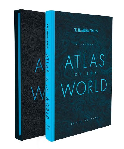
Discover new places with authoritative atlases, beautifully designed and packaged.Tenth edition of this popular atlas from the prestigious and authoritative Times Atlas range. This world atlas contains the breadth, scale and detail to make it an ideal reference resource for school, home and business.
The atlas has been brought fully up-to-date to provide a detailed and attractive picture of the world today. The beautifully illustrated introductory section gives a detailed profile of today's world and covers major contemporary geographical and global issues - such as migration and population growth - through maps and graphics.
The reference maps give exceptional detail and provide accurate, accessible and attractive coverage, helping you explore the world.
A comprehensive guide to the world's states and territories including flags, capitals and key statistics is included. Making this an ideal reference atlas for home, school or office.
Main features include:
Authoritative mapping of the whole world
Plans of 46 of the world's major cities
Geographical reference section with flags and statistics for the world's states and territories
Maps and illustrations on major geographical themes, including earthquakes, population, cities, climate and migration
Historical mapping of the world from 1858 to the present day
More than 45,000 index entries
$9.00 standard shipping within Australia
FREE standard shipping within Australia for orders over $100.00
Express & International shipping calculated at checkout
Discover new places with authoritative atlases, beautifully designed and packaged.Tenth edition of this popular atlas from the prestigious and authoritative Times Atlas range. This world atlas contains the breadth, scale and detail to make it an ideal reference resource for school, home and business.
The atlas has been brought fully up-to-date to provide a detailed and attractive picture of the world today. The beautifully illustrated introductory section gives a detailed profile of today's world and covers major contemporary geographical and global issues - such as migration and population growth - through maps and graphics.
The reference maps give exceptional detail and provide accurate, accessible and attractive coverage, helping you explore the world.
A comprehensive guide to the world's states and territories including flags, capitals and key statistics is included. Making this an ideal reference atlas for home, school or office.
Main features include:
Authoritative mapping of the whole world
Plans of 46 of the world's major cities
Geographical reference section with flags and statistics for the world's states and territories
Maps and illustrations on major geographical themes, including earthquakes, population, cities, climate and migration
Historical mapping of the world from 1858 to the present day
More than 45,000 index entries
Search our extensive online catalogue.
