


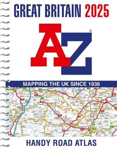
Great Britain A-Z Handy Road Atlas 2025 (A5 Spiral)
A-Z Maps
Great Britain A-Z Handy Road Atlas 2025 (A5 Spiral)
A-Z Maps
Navigate your way around Great Britain with this detailed and easy-to-use A-Z Road Atlas A full-colour, spiral bound road atlas, now fully revised and updated. Clear detailed road mapping at a scale of 5 miles to 1 inch. Presented in a compact A5 size for ease of storage.
This handy road atlas of Great Britain includes:
- Mileage chart
- Channel Tunnel terminus maps
- Index to cities, towns, villages, hamlets and major destinations
- Map reference information also in French and German
Instantly recognisable and easy to use, the road mapping has been specifically tailored for the smaller scale featuring: clear standard road classification colours for easy identification, motorway junction symbols, under construction and proposed roads, primary route destinations, service areas, National and county boundaries, and a wide range of tourist and ancillary information, including Blue Flag Beaches.
This A-Z Handy Road Atlas of Great Britain and Northern Ireland is the perfect choice for those wanting a compact spiral bound publication with A-Z quality road mapping.
This item is not currently in-stock. It can be ordered online and is expected to ship in approx 2 weeks
Our stock data is updated periodically, and availability may change throughout the day for in-demand items. Please call the relevant shop for the most current stock information. Prices are subject to change without notice.
Sign in or become a Readings Member to add this title to a wishlist.