Readings Newsletter
Become a Readings Member to make your shopping experience even easier.
Sign in or sign up for free!
You’re not far away from qualifying for FREE standard shipping within Australia
You’ve qualified for FREE standard shipping within Australia
The cart is loading…


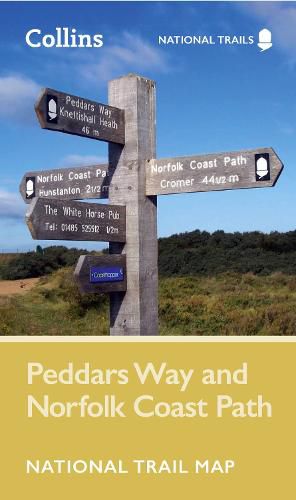
Perfect guide and map for planning your adventure along Peddar's Way and the Norfolk Coast Path. This incorporates part of the newly formed England Coast Path.
Highlights of this Planning Map include:
More than 20 highlighted places of interest with detailed descriptions and attractive photographs, including: the Hunstanton striped cliffs, Blakeney Point, and Binham Priory A comprehensive index to more than 600 cities, towns and villages A clear, visible route plotted across a 2.4 miles to 1 inch (1.5 km to 1 cm) scale map Advice on safety and security when travelling along the route, as well as the countryside code and the code of conduct
Part of the National Trail network, these two long-distance footpaths cover 93 miles (150 km) across West Norfolk and along its northern coast. Following the course of a Roman road through forest, open farmland and river valleys, Peddar's Way contrasts with the small harbours, low cliffs and sand found along the Norfolk Coast Path. The combined routes offer a varied trail through rich landscapes and fantastic scenery. A suggested walking itinerary makes it easy for users to plan their journey along these popular trails.
$9.00 standard shipping within Australia
FREE standard shipping within Australia for orders over $100.00
Express & International shipping calculated at checkout
Perfect guide and map for planning your adventure along Peddar's Way and the Norfolk Coast Path. This incorporates part of the newly formed England Coast Path.
Highlights of this Planning Map include:
More than 20 highlighted places of interest with detailed descriptions and attractive photographs, including: the Hunstanton striped cliffs, Blakeney Point, and Binham Priory A comprehensive index to more than 600 cities, towns and villages A clear, visible route plotted across a 2.4 miles to 1 inch (1.5 km to 1 cm) scale map Advice on safety and security when travelling along the route, as well as the countryside code and the code of conduct
Part of the National Trail network, these two long-distance footpaths cover 93 miles (150 km) across West Norfolk and along its northern coast. Following the course of a Roman road through forest, open farmland and river valleys, Peddar's Way contrasts with the small harbours, low cliffs and sand found along the Norfolk Coast Path. The combined routes offer a varied trail through rich landscapes and fantastic scenery. A suggested walking itinerary makes it easy for users to plan their journey along these popular trails.
Search our extensive online catalogue.
