Readings Newsletter
Become a Readings Member to make your shopping experience even easier.
Sign in or sign up for free!
You’re not far away from qualifying for FREE standard shipping within Australia
You’ve qualified for FREE standard shipping within Australia
The cart is loading…


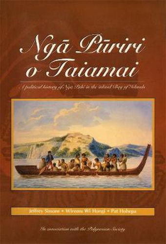
Much sought after since its original publication, Nga Puriri o Taiamai furnishes an essential history of New Zealand’s most populous iwi.
Much sought after since its original publication, Nga Puriri o Taiamai furnishes an essential history of New Zealand’s most populous iwi.
Nga Puriri o Taiamai was first published by the Polynesian Society in 1987 as The Puriri Trees are Laughing. A record of the political history of Nga Puhi tribal groups in the Taiamai and Te Waimate regions of the inland Bay of Islands, this highly regarded work brings together Nga Puhi oral traditions and early European accounts of the region. All the narratives are given in Maori with English translations, and are supported by introductions and concluding discussions.
Along with the nine maps and thirty-three whakapapa charts of the original, this edition is also illustrated with historical drawings and photographs.
$9.00 standard shipping within Australia
FREE standard shipping within Australia for orders over $100.00
Express & International shipping calculated at checkout
Stock availability can be subject to change without notice. We recommend calling the shop or contacting our online team to check availability of low stock items. Please see our Shopping Online page for more details.
Much sought after since its original publication, Nga Puriri o Taiamai furnishes an essential history of New Zealand’s most populous iwi.
Much sought after since its original publication, Nga Puriri o Taiamai furnishes an essential history of New Zealand’s most populous iwi.
Nga Puriri o Taiamai was first published by the Polynesian Society in 1987 as The Puriri Trees are Laughing. A record of the political history of Nga Puhi tribal groups in the Taiamai and Te Waimate regions of the inland Bay of Islands, this highly regarded work brings together Nga Puhi oral traditions and early European accounts of the region. All the narratives are given in Maori with English translations, and are supported by introductions and concluding discussions.
Along with the nine maps and thirty-three whakapapa charts of the original, this edition is also illustrated with historical drawings and photographs.
Search our extensive online catalogue.
