


Edale Skyline Challenge Map
David Brawn
Edale Skyline Challenge Map
David Brawn
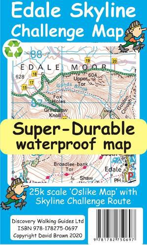
Edale Skyline Challenge is the most scenic of challenge routes thanks to the ridge line nature of its route. At just over 20 miles with a 10 hour challenge time it is suitable for fit leisure walkers as a great day out in good weather; in bad weather it really is a challenge.
To produce our Edale Skyline Challenge Map first we licence Ordnance Survey 50k scale mapping. Then we double it in size to produce a 25k map. Now the OS map features, text and logos are doubled in size making for a map with outstanding clarity which is easy to read under challenge conditions.
The Skyline Challenge Route, with its options, are added and specially highlighted so that the challenge route stands out against the OS background map. Then we add any additional detail you might need. The result is a 600mm by 400mm 25k scale map with outstanding clarity and durability. Our special concertina map fold means the map is easy to unfold and to refold to its pocketable 200mm by 120mm folded size. On the reverse of the map sheet we present our detailed Challenge Route description complete with distances and timings for the sections of the route along with the 44 waypoints which define the challenge. We then print the map design on a 100 micron plastic substrate using a special UV curing inks process on the UK’s only press capable of using this latest technology. The result is a lightweight map that is both waterproof and tearproof, and fully recyclable, that will survive anything your Challenge can throw at it and afterwards will fold up like new. In addition to our Challenge printed map we offer you a digital Custom Map for use with Garmin software, and gps units, and Google Earth. We also include the gpx waypoint file for the 44 waypoints in our detailed route description. See the information on the reverse of the map for details of how to download for free the zip file containing the Custom Map and gpx waypoint file. Unzip the zip file on your computer and you will have the complete package of Edale Skyline Challenge Map, digital edition Custom Map and gpx file of the waypoints to aid your navigation.
This item is not currently in-stock. It can be ordered online and is expected to ship in approx 2 weeks
Our stock data is updated periodically, and availability may change throughout the day for in-demand items. Please call the relevant shop for the most current stock information. Prices are subject to change without notice.
Sign in or become a Readings Member to add this title to a wishlist.