


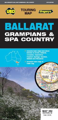
Ballarat Grampians & Spa Country Map 382 18th
UBD Gregory's
Ballarat Grampians & Spa Country Map 382 18th
UBD Gregory's
The latest edition of the Ballarat Grampians & Spa Country Map has been fully revised and updated.
It includes street level mapping and street index for Ballarat on one side.
On the reverse side is a regional touring map which covers Harcourt & Campbells Bridge in the north, Cressy in the south, Romsey in the east and Wartook and Dunkeld in the west.
It also includes maps & indexes for Ararat, Creswick, Daylesford Hepburn Springs, Kyneton, Stawell and Woodend and a map of Halls Gap. There is also a list of regional touring attractions.
This handy fold out map is an essential tool to have at hand whether you are living in or touring the region.
This item is in-stock at 2 shops and will ship in 3-4 days
Our stock data is updated periodically, and availability may change throughout the day for in-demand items. Please call the relevant shop for the most current stock information. Prices are subject to change without notice.
Sign in or become a Readings Member to add this title to a wishlist.