


South Australia State & Cities Map 519 10th waterproof
UBD Gregory's
South Australia State & Cities Map 519 10th waterproof
UBD Gregory's
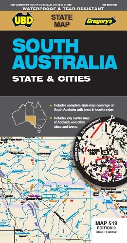
The latest edition of the South Australia State and Cities map is an essential tool when travelling in South Australia.
It includes a state map and index to towns and localities at a scale of 1 : 1 900 000 and state touring information. In addition to this, there is a map covering 150km around Adelaide including the Yorke & Fleurieu Peninsulas and Kangaroo Island at a scale of 1 : 100 000 and street level mapping for Adelaide City and Coober Pedy, Hahndorf, Kangaroo Island, Murray Bridge, Nuriootpa, Renmark and Victor Harbor.
This item is in-stock at 2 shops and will ship in 3-4 days
Our stock data is updated periodically, and availability may change throughout the day for in-demand items. Please call the relevant shop for the most current stock information. Prices are subject to change without notice.
Sign in or become a Readings Member to add this title to a wishlist.