


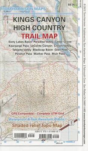
Kings Canyon High Country Trail Map
Tom Harrison
Kings Canyon High Country Trail Map
Tom Harrison
All maps have color-coded symbols and trails, mileages between trail junctions, latitude/longitude, UTM grids, contour lines, vegetation, and elevations at trail junctions. Tom Harrison Maps is famous for the beauty and accuracy of its maps. All maps printed on waterproof and tear resistant material
This item is not currently in-stock. It can be ordered online and is expected to ship in approx 4 weeks
Our stock data is updated periodically, and availability may change throughout the day for in-demand items. Please call the relevant shop for the most current stock information. Prices are subject to change without notice.
Sign in or become a Readings Member to add this title to a wishlist.